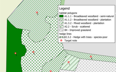
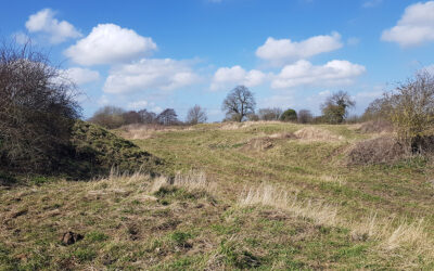
We use both ArcGIS and QGIS to create accurate habitat mapsWe use both ArcGIS and QGIS to create accurate habitat maps of existing land-use. Mapping can be created by acquiring Ordnance Survey map data and using pre-defined pallets within the software to assign the...
Arbor Vitae Projects
Planning Conditions Prior to Development
Planning applications will often be granted with a set of conditions which must be satisfied either before works begin or before the plans become operational. Arbor Vitae were asked to complete a Habitat...


