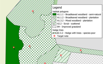
We use both ArcGIS and QGIS to create accurate habitat mapsWe use both ArcGIS and QGIS to create accurate habitat maps of existing land-use. Mapping can be created by acquiring Ordnance Survey map data and using pre-defined pallets within the software to assign the...
01743 651 555
[email protected]

