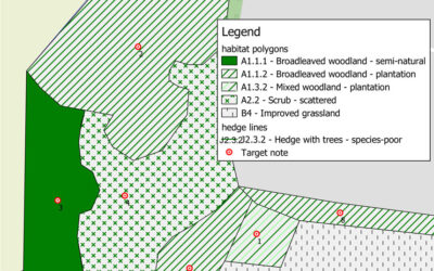
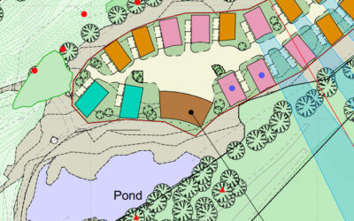
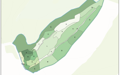
We use both ArcGIS and QGIS to create accurate habitat mapsWe use both ArcGIS and QGIS to create accurate habitat maps of existing land-use. Mapping can be created by acquiring Ordnance Survey map data and using pre-defined pallets within the software to assign the...
Arbor Vitae Projects
Ecological Surveys nr. Much Wenlock
Development of a former quarry near Much Wenlock triggered the need for a wide range of ecological survey work to establish the baseline conditions of the site and therefore anticipate the impact of the...
Biodiversity Net Gain Survey and Assessment
Biodiversity Net Gain starts with an initial assessment of the land to be developed and establishment of the baseline habitat conditions. Once this is complete, work begins to design and agree Net Gain measures to...


