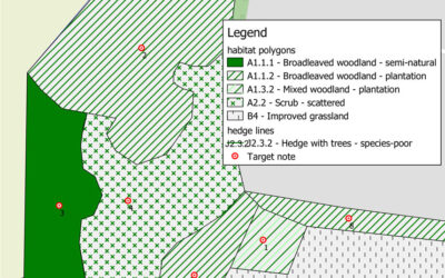
We use both ArcGIS and QGIS to create accurate habitat mapsWe use both ArcGIS and QGIS to create accurate habitat maps of existing land-use. Mapping can be created by acquiring Ordnance Survey map data and using pre-defined pallets within the software to assign the...
Arbor Vitae Projects
Change of Land Use near Wrexham
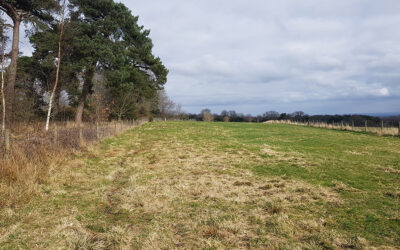
A planning application was submitted for a change of use of a small area of land near Wrexham. The proposal included the creation of a new car parking area and a dog-walking route around the land. The habitat survey...


